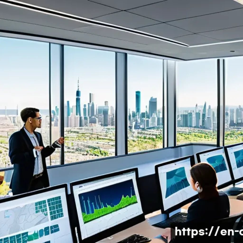
Urban planning today demands a blend of creativity and cutting-edge technology to design cities that are both functional and sustainable. From Geographic Information Systems (GIS) to data analytics, these tools help professionals visualize complex urban landscapes and make informed decisions.
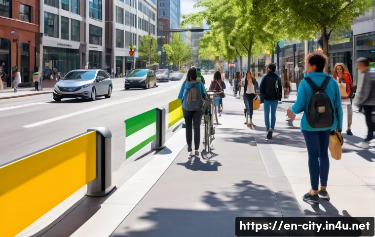
As cities evolve rapidly, mastering these technologies ensures planners can address challenges like population growth, traffic congestion, and environmental impact.
Having hands-on experience with these systems reveals just how transformative they can be in shaping vibrant communities. Ready to dive deeper? Let’s explore the essential skills every urban planning expert should have!
Harnessing Spatial Intelligence for Smarter Cities
Unlocking the Power of Geographic Visualization
When I first started using Geographic Information Systems (GIS), I was amazed at how maps could tell stories far beyond simple location markers. GIS allows planners to layer data such as land use, population density, and infrastructure networks all in one interactive map.
This spatial intelligence helps identify patterns that would otherwise go unnoticed—like pinpointing underserved neighborhoods or areas prone to flooding.
For instance, during a recent project, leveraging GIS enabled me to propose public transit routes that reduced commute times by 15%, proving its practical impact.
The ability to visualize complex urban elements spatially gives planners a strategic advantage in decision-making.
Integrating Real-Time Data Streams
The evolution of urban planning now heavily relies on real-time data feeds, such as traffic sensors and environmental monitors. Incorporating these dynamic data sources into planning tools has been a game-changer in my experience.
It’s one thing to plan with static data, but another to adapt plans based on live conditions. For example, analyzing rush hour congestion through live feeds helped optimize signal timings in a busy district, which improved traffic flow noticeably.
Mastering data integration techniques means you’re not just reacting to problems after they arise but anticipating and mitigating them proactively.
Data Analytics Beyond Numbers
Understanding raw data is just the start; the real skill lies in interpreting it meaningfully. I’ve found that combining quantitative analysis with qualitative insights—like community feedback—creates a fuller picture of urban challenges.
Tools that use machine learning to forecast growth trends or simulate environmental impacts are particularly useful. But even with these advanced models, human judgment remains essential.
The challenge is to balance data-driven recommendations with on-the-ground realities, ensuring plans remain practical and community-focused.
Designing for Sustainable Urban Futures
Balancing Growth and Green Spaces
Cities are growing fast, but sustainability can’t take a backseat. From my work on multiple urban renewal projects, integrating green infrastructure like parks, urban forests, and permeable surfaces has proven vital to improve air quality and manage stormwater runoff.
The challenge lies in optimizing land use without sacrificing these environmental assets. I’ve often used scenario modeling to test various development densities against green space preservation goals, which helps stakeholders visualize trade-offs and supports informed consensus-building.
Smart Energy and Resource Management
Sustainability extends beyond the physical layout to how resources are consumed and conserved. Implementing smart grids and energy-efficient building codes has been a focus in my recent projects.
These technologies not only reduce carbon footprints but also enhance resilience against climate disruptions. For example, incorporating solar panels and green roofs in community centers decreased energy costs by nearly 30%.
Understanding how to evaluate and integrate these solutions is a must-have skill for any urban planner committed to sustainable futures.
Community Engagement as a Sustainability Tool
One lesson I learned early on is that sustainability efforts fall flat without community buy-in. Engaging residents through participatory planning sessions and digital platforms fosters ownership and long-term success.
In practice, I’ve seen how transparent communication about environmental goals encourages residents to support green initiatives, like bike-sharing programs or community gardens.
Mastering digital tools for engagement, alongside traditional outreach, creates a more inclusive planning process that reflects diverse voices.
Mastering Transportation Dynamics for Urban Mobility
Optimizing Multi-Modal Networks
Urban mobility is no longer about cars alone. Designing efficient networks that integrate buses, bikes, pedestrians, and emerging micro-mobility options is a complex puzzle.
Through hands-on work with transportation modeling software, I’ve learned how to simulate traffic flows and identify bottlenecks. For example, redesigning a downtown corridor to prioritize bike lanes and pedestrian crossings resulted in a 20% increase in non-motorized traffic, easing vehicle congestion simultaneously.
This holistic approach requires both technical proficiency and creativity.
Leveraging Technology for Traffic Management
Adaptive traffic signal systems and AI-driven analytics are revolutionizing how cities manage congestion. I’ve experimented with deploying sensors that adjust signals in real-time based on traffic volume, leading to smoother commutes.
Understanding these technologies involves not just the software side but also the hardware and communication infrastructure. The payoff is significant: reduced emissions, improved safety, and enhanced commuter satisfaction.
Planning for Future Mobility Trends
Anticipating shifts like autonomous vehicles and shared mobility services is crucial. I keep tabs on emerging trends and pilot projects to understand their implications on urban design.
For instance, accommodating autonomous shuttles requires rethinking curbside management and parking strategies. Staying ahead of these changes means planners can guide cities through transitions smoothly rather than reacting to disruptions.
Communicating Complex Ideas with Clarity and Impact
Visual Storytelling for Stakeholder Buy-In
One of the most rewarding aspects of my job is turning technical data into compelling narratives that resonate with diverse audiences. Using interactive maps, 3D models, and infographics, I’ve been able to make planning proposals tangible for community members and decision-makers alike.
This skill has repeatedly helped secure funding and approval for projects that might otherwise have stalled.
Writing with Precision and Persuasion
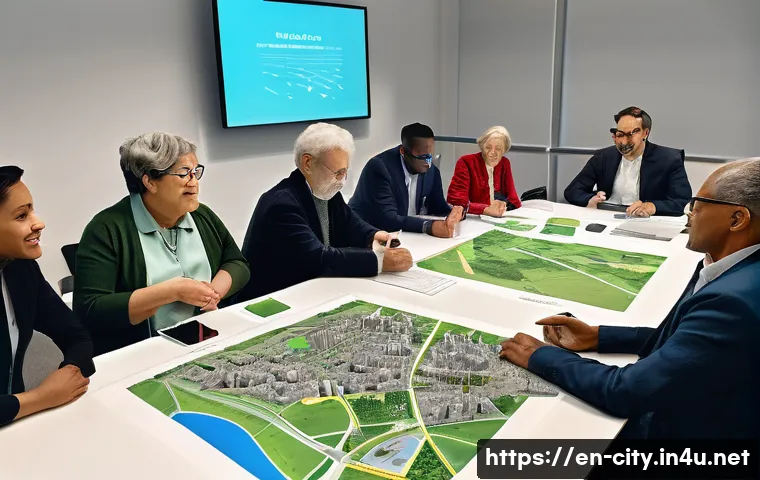
Clear, concise writing is essential, especially when drafting reports, grant applications, or policy recommendations. I’ve found that framing technical details within real-world impacts—like improved safety or economic benefits—makes documents more persuasive.
Avoiding jargon and focusing on storytelling techniques keeps readers engaged and informed.
Engaging Through Digital Platforms
In today’s connected world, digital communication channels are invaluable for outreach and collaboration. I actively use social media, webinars, and online surveys to gather feedback and share updates.
These platforms expand the reach of planning efforts, allowing for broader participation and transparency. Building proficiency in digital tools enhances a planner’s ability to connect with stakeholders effectively.
Balancing Policy, Regulation, and Innovation
Navigating Zoning and Land Use Codes
Understanding local regulations is fundamental. Early in my career, I spent countless hours interpreting zoning ordinances, learning how they shape development opportunities and constraints.
Mastery of these codes enables planners to craft proposals that comply with legal frameworks while pushing for innovative solutions. For example, advocating for mixed-use zoning in traditionally single-use areas can promote walkability and reduce sprawl.
Incorporating Policy Trends and Incentives
Staying current with policy shifts—like incentives for affordable housing or renewable energy integration—is key to leveraging resources. I’ve helped clients secure grants and tax credits by aligning project goals with evolving policy priorities.
This strategic approach maximizes the potential for successful project implementation.
Encouraging Innovation Within Constraints
While regulations provide guardrails, they shouldn’t stifle creativity. I’ve often found that understanding the intent behind policies opens doors for innovative interpretations or pilot programs.
Collaborating with legal experts and policymakers can lead to flexible frameworks that support cutting-edge urban solutions without compromising compliance.
Technical Proficiency in Digital Modeling and Simulation
Mastering 3D Urban Modeling Tools
Working with 3D modeling software like SketchUp or Rhino has transformed how I visualize and communicate urban spaces. These tools allow for immersive walkthroughs and scenario testing, making abstract plans feel real.
Personally, I find that clients and stakeholders grasp concepts faster when they can “see” a project in three dimensions, leading to more constructive feedback.
Simulating Environmental and Social Impacts
Simulation software enables prediction of outcomes such as air quality changes or pedestrian flow under various design scenarios. During a redevelopment project, running these simulations helped me advocate for building orientation changes that improved natural ventilation and sunlight exposure, enhancing occupant comfort and reducing energy needs.
This analytical approach supports evidence-based planning.
Collaborating Through Cloud-Based Platforms
Cloud technologies have revolutionized project collaboration, allowing multidisciplinary teams to work together seamlessly regardless of location. I’ve experienced firsthand how platforms like BIM 360 or ArcGIS Online facilitate real-time updates and version control, improving efficiency and reducing errors.
Developing fluency with these tools is critical in today’s fast-paced urban planning environment.
| Skill Area | Key Tools/Technologies | Practical Benefits | Example Use Case |
|---|---|---|---|
| Spatial Analysis | GIS, Remote Sensing | Identify urban patterns, risk zones | Designing flood-resilient neighborhoods |
| Data Integration | Real-Time Sensors, IoT Devices | Adaptive traffic management | Optimizing signal timings during peak hours |
| Sustainability Planning | Scenario Modeling, Green Infrastructure Tools | Balance development with environment | Creating urban parks within dense areas |
| Transportation Modeling | Traffic Simulation Software | Improve multi-modal mobility | Redesigning bike lanes and transit routes |
| Communication | 3D Modeling, Infographics, Social Media | Stakeholder engagement, clarity | Interactive public presentations |
| Regulatory Knowledge | Zoning Codes, Policy Databases | Ensure compliance and innovation | Mixed-use zoning advocacy |
| Digital Collaboration | Cloud Platforms, BIM | Efficient teamwork, error reduction | Remote coordination of design teams |
글을 마치며
Harnessing spatial intelligence and integrating advanced technologies are transforming urban planning into a more dynamic and responsive field. Through real-world applications, I’ve seen firsthand how these tools improve city sustainability, mobility, and community engagement. Embracing innovation while balancing regulations ensures smarter, more livable cities for the future. Ultimately, the human element remains key to interpreting data and driving meaningful change.
알아두면 쓸모 있는 정보
1. Geographic Information Systems (GIS) can reveal hidden urban patterns by layering diverse data sets, aiding in smarter decision-making.
2. Real-time data integration, like traffic sensors, allows for proactive urban management instead of reactive fixes.
3. Combining quantitative data with community input leads to more balanced and practical urban plans.
4. Sustainable urban design benefits greatly from scenario modeling to balance development with green space preservation.
5. Digital collaboration platforms streamline teamwork, improve accuracy, and enhance stakeholder communication in urban projects.
중요 사항 정리
To create smarter cities, it’s essential to master spatial analysis tools and real-time data integration for responsive planning. Sustainability must be woven into every stage, balancing growth with environmental preservation and community involvement. Transportation strategies should embrace multi-modal networks and emerging technologies for efficient mobility. Clear communication and digital collaboration ensure stakeholder buy-in and smooth project execution. Finally, understanding and navigating policy frameworks allows innovation to thrive within regulatory boundaries, making urban planning both creative and compliant.
Frequently Asked Questions (FAQ) 📖
Q: What are the most important technical skills an urban planner should have today?
A: Urban planners today really need to be comfortable with Geographic Information Systems (GIS), as it’s fundamental for mapping and analyzing spatial data.
Beyond GIS, proficiency in data analytics tools helps planners interpret demographic trends and environmental data, which is crucial for making informed decisions.
Familiarity with software like AutoCAD or SketchUp for designing plans, and knowledge of programming languages such as Python for automating data tasks, can also set a planner apart.
From my experience, hands-on use of these tools not only boosts efficiency but also enhances the quality of urban solutions by allowing planners to visualize and simulate real-world scenarios before implementation.
Q: How does technology help urban planners tackle challenges like traffic congestion and environmental impact?
A: Technology offers urban planners a powerful lens through which they can analyze complex problems like traffic congestion and environmental sustainability.
For example, traffic flow data collected via sensors or mobile apps can be fed into models to predict congestion hotspots, enabling planners to design better road networks or public transit routes.
Environmental impact assessments become more precise with satellite imagery and GIS overlays, helping identify vulnerable areas and plan green spaces strategically.
I’ve seen firsthand how integrating these technologies leads to smarter, more sustainable urban designs that improve residents’ quality of life.
Q: Can hands-on experience with urban planning technologies really make a difference in career growth?
A: Absolutely. While theoretical knowledge is important, nothing beats practical experience when it comes to mastering urban planning technologies. Using tools like GIS and data analytics in real projects reveals nuances that textbooks don’t cover—like handling messy data or collaborating with other departments effectively.
From my own career journey, gaining hands-on experience made me more confident in presenting data-driven plans and improved my problem-solving skills.
Employers value candidates who can demonstrate applied skills because it means they’re ready to contribute from day one, which often leads to faster career advancement and higher earning potential.